Have you ever wondered how we can better protect our environment while still pushing forward with development projects? Environmental impact assessments are crucial for understanding how proposed projects might affect the natural world. UAV LiDAR technology is a game-changer that’s making EIAs more accurate and efficient than ever before. Here’s what you need to know.
An Introduction to UAV LiDAR Technology:
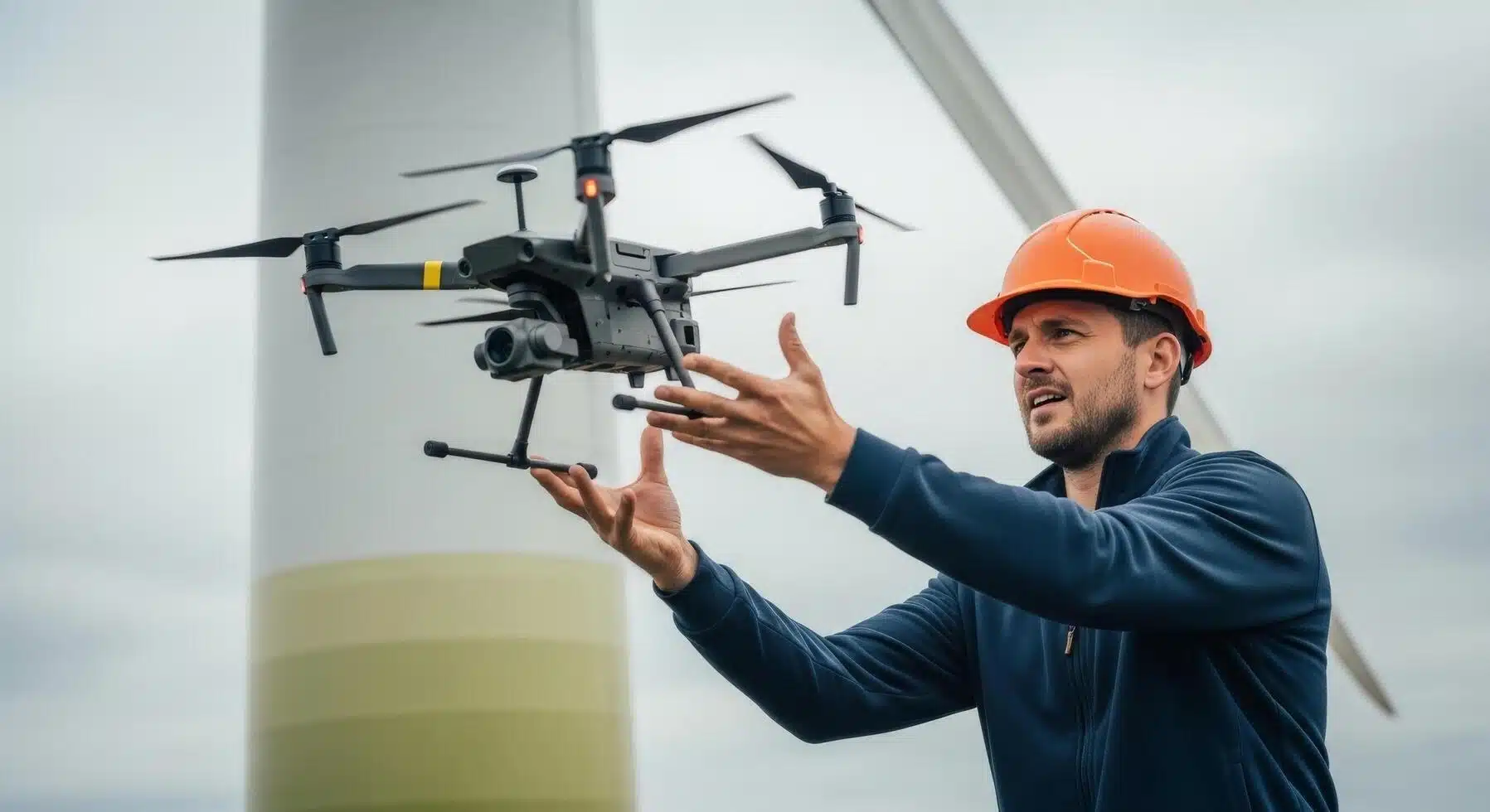
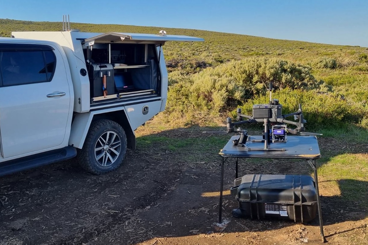
Unmanned Aerial Vehicles (UAVs) equipped with LiDAR technology are transforming environmental impact assessments. These advanced drones collect detailed data from above, offering a Perth surveyor new ways to understand and manage our environment. By using laser light, UAV LiDAR technology creates precise three-dimensional maps of landscapes. This represents a significant improvement over traditional survey methods, which are often slower and less accurate.
One of the key strengths of UAV LiDAR is its ability to capture high-resolution data efficiently. Traditional surveys might take days or even weeks to gather the same amount of information that a UAV can collect in a few hours. This speed is crucial in urgent situations where time is of the essence, such as assessing areas prone to natural disasters.
How Does it Work?
The technology works by emitting laser pulses from the UAV to the ground. These pulses bounce back to the drone, and the time it takes for them to return is used to calculate distances. This data is then processed to produce detailed, three-dimensional models of the surveyed area. These models help professionals make better-informed decisions about the environment, ensuring that assessments are based on accurate, up-to-date information.
The Benefits of UAV LiDAR in Environmental Impact Assessments:
- Accuracy & Precision: One of the biggest advantages of using UAV LiDAR for environmental assessments is its accuracy and precision. Drone LiDAR mapping offers a higher data density, which often results in more accurate outcomes than conventional survey techniques, even when using lower per-sample network accuracy. This increased precision allows professionals to make better-informed decisions about the environment.
- Speed & Efficiency: With UAV LiDAR, data can be processed in real time. The evolution of onboard data processing technology allows these drones to streamline data collection and minimise post-flight processing, making the whole process faster and more efficient. This is especially useful in situations like flood risk assessments, where quick and accurate data is crucial for effective planning and response.
- Ability to Reach Difficult Areas: Drones can easily access locations that might be hard or impossible to reach on foot, such as thick forests or steep slopes. This flexibility allows property surveyors in Perth to gather comprehensive data without the physical limits faced by traditional methods.
- Safety: Since drones can be operated remotely, they reduce the need for surveyors to enter potentially dangerous areas. This makes the data collection process safer for everyone involved.
- Data Quality: Weather conditions, like rain or fog, often hinder traditional surveys, but UAV LiDAR can work effectively in less-than-ideal conditions. This ensures that data collection is reliable and can proceed as planned, without unnecessary delays.
- Cost-Effective: While the initial investment might be high, the technology’s speed and accuracy can lead to significant cost savings in the long run. Less time spent on data collection means lower labour costs and faster project completion, which can be crucial for various stakeholders.
Enhancing Resource Management:
UAV LiDAR technology is a powerful tool for improving resource management.
- Water Resource Management: These drones help professionals monitor and manage water bodies more effectively. They can track changes in water levels, identify potential areas of concern, and support the overall health of aquatic ecosystems.
- Sustainable Land Use Planning: Through contour survey in Perth, UAV LiDAR provides detailed topographical data that helps in designing land use plans that balance development with environmental conservation. It also assists in rugged terrains, where traditional survey methods would require denser sampling, which is often difficult to achieve compared to drone LiDAR.
- Wildlife Habitat Analysis: UAV LiDAR is invaluable in wildlife habitat analysis. It can identify habitats and track changes over time, helping conservationists and land surveyor in Perth to protect vulnerable species and manage natural resources sustainably.
Analysing Costs and Benefits:
As mentioned earlier, investing in UAV LiDAR technology can seem expensive at first, but the long-term benefits are substantial.
- The high accuracy and quick data collection that these drones offer can lead to significant savings over time.
- By reducing the time needed for data gathering, UAV LiDAR helps lower labour costs, making it a cost-effective solution for many projects.
- For licensed surveyors in Perth, the precision of UAV LiDAR data means better-informed decisions. This accuracy can lead to fewer mistakes and revisions, saving both time and money.
- The ability of drones to access hard-to-reach areas can save costs associated with deploying ground teams. For example, traditional surveys might require extensive manpower and equipment to cover rough terrains, whereas UAV drone mapping in Perth can accomplish the same task more swiftly and with fewer resources.
- Beyond environmental impact assessments, UAV LiDAR can be used in various fields such as urban planning, agriculture, and disaster management. This means that the initial investment can be spread across different types of projects, increasing the return on investment.
UAV LiDAR technology is transforming environmental impact assessments by delivering unparalleled accuracy, efficiency, and safety. This innovation ensures balanced development while safeguarding our environment for future generations. Contact experts offering site survey in Perth if you have any questions.