May 2017
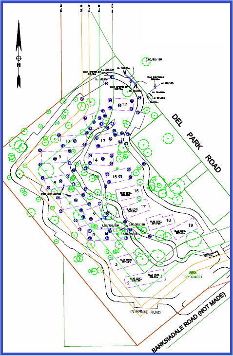
- Cadastral boundary re-establishment and providing level datum points
- BAL contour and tree feature survey
- Building envelope, boundary and road reserve set-outs
- Set-out and as-constructed surveys and plans of all services, roads & infrastructure
- Drainage as-constructed survey for inundation issues
- Project management of all survey aspects and data GIS management


