February 2018
- Enquiries to local government regarding subdivision potential
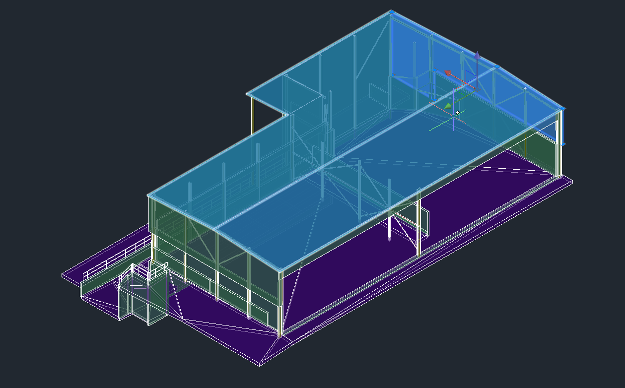
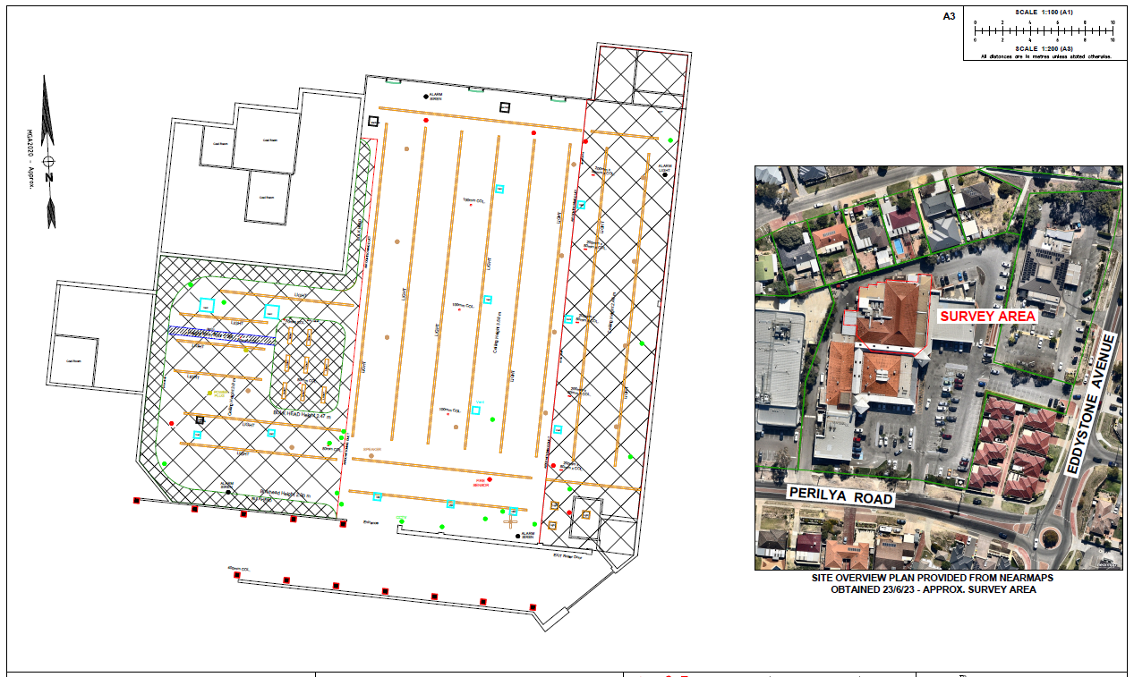
- Detailed feature and contour survey with tree location and canopy extents for bushfire planning
- UAV drone photo (orthomosaic) to have current high resolution aerial imagery overlaid over the site


