Bush-fire planning rules in Australia hinge on the Bushfire Attack Level (BAL) method set out in AS 3959. BAL guides everything from glazing thickness to vent mesh size, so any step that legitimately shifts a site from BAL-29 down to BAL-19 represents real relief for designers and owners. One of the least publicised ways to achieve that shift is to replace coarse terrain data with centimetre-grade contours referenced to the Australian Height Datum (AHD).
Slope is more than a line on a map
BAL depends on vegetation classification, separation distance and effective slope beneath the vegetation. AS 3959 divides slope into several broad bands: upslope/flat, 0–5°, 5–10° and so on. Each jump pushes the predicted flame length and radiant heat higher, raising the BAL category accordingly. When initial assessments rely on public digital elevation models, small errors in slope often creep in because 10-metre or 30-metre grid spacing cannot capture micro-topography.
The limits of desktop mapping
The Western Australian Map of Bush-Fire Prone Areas is invaluable for strategic planning, yet the state’s fire agency notes that local verification remains essential. Grid-derived spot heights are rounded, interpolated and sometimes averaged across cells, so gentle sites can be tagged with steeper slopes than they truly possess. Even a one-degree exaggeration may tip a property into a stricter BAL bracket.
AHD: a common datum, a cleaner result
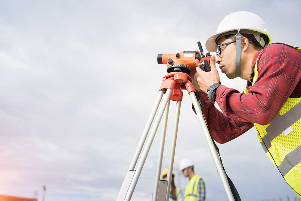
AHD fixes elevation to mean sea level at multiple tide gauges around the continent. Because it is absolute, not local, surveyors can splice fresh contour data into bush-fire software, cadastral bases and engineering models without datum conflicts. On-ground crews — whether advertised online as site survey Perth or broader property surveyors Perth services — gather hundreds of spot heights, then interpolate one-metre or half-metre contours. That density exposes shallow benches, rock shelves and minor hollows invisible to coarse models. Where upslope or flat ground lies within the 100-metre assessment envelope, the BAL consultant may legitimately adopt the lower slope band for the relevant sector.
Commissioning the right survey
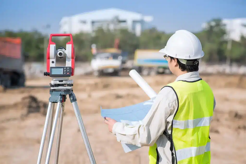
Engage a licensed surveyors Perth practice or a regional equivalent when searching “land surveyors near me”. Registered professionals set permanent control marks, fix heights to AHD through GNSS observations and supply digital terrain models in common GIS formats. Modern workflows often include point-cloud data, allowing the BAL assessor to slice the surface at any spacing compatible with AS 3959 worksheets or software such as CSIRO’s BAL tool.
Working the survey into a BAL report
Bush-fire consultants overlay the terrain model with vegetation polygons, apply separation buffers and run the AS 3959 Method 1 calculations. The WA Mapping Standard for Bush Fire Prone Areas explicitly permits survey-derived AHD contours in lieu of default DEMs, provided interval and accuracy requirements are met. Local governments and certifiers accept such mapping when stamped by an accredited assessor, so long as the supporting files are lodged with the application. Removing uncertainty early keeps drafting revisions — and builder variations — to a minimum.
Flow-on design advantages
- Cladding flexibility – Lower BAL ratings widen the palette of compliant timber and lightweight sheet systems, trimming weight and installation time.
- Glazing specification – BAL-19 allows standard toughened glass sizes where BAL-29 demands thicker or screened units.
- Ventilation details – Mesh aperture requirements tighten at higher BAL levels; a reduced rating simplifies purchasing and speeds fit-out.
Although the exact dollar impact varies, builders routinely report that savings on materials and labour outweigh the survey fee.
More than bush-fire compliance
Precise vertical data aids driveway gradients for emergency vehicles, hydraulic design, retaining wall set-out and cut-fill balancing. Sharing the terrain model with a mining surveyor or civil engineer prevents duplicated fieldwork and ensures consistent volumes across disciplines. Future extensions also benefit, as the original survey remains a dependable reference long after nearby benchmarks may have moved or disappeared.
Timing matters
For new builds, arrange the AHD survey before sketch plans progress too far; that way the architect can orient floor levels, decks and window heads to suit the verified topography. Renovations likewise gain from confirming floor-to-ground clearances early, avoiding surprises when councils request a BAL update. Even projects outside mapped bush-fire prone land sometimes seek an AHD-based check, since slope under vegetation still influences ember attack during grass fires.
Choosing the right professionals
- Look for a Perth surveyor or regional firm with cadastral registration under state legislation.
- Confirm that deliverables include:
- Digital terrain model in .dwg or .dxf and GIS formats
- One-metre contour plan on AHD with legend, title block and coordinate grid
- Survey report describing equipment, datum connections and tolerances.
- Ensure the BAL consultant is BPAD-accredited and comfortable importing detailed surfaces.
Collaboration between surveyor and assessor is straightforward once both parties work from the same coordinate system.
Key take-aways
- High-resolution AHD contours generated by field survey offer a robust slope measurement accepted under AS 3959 and WA guidelines.
- A reduced slope band often lowers the BAL rating, easing cladding, glazing and vent requirements.
- Commissioning the AHD survey early helps architects, certifiers and builders lock in compliant, economical solutions with confidence.
- Keep terrain data on file; it supports drainage, future additions and broader land-use planning long after the project is finished.
Precise measurement is rarely glamorous, yet in bush-fire design it can shrink compliance hurdles and open material choices that make a building both safer and more cost-effective. A small investment in ground truth today can yield construction and maintenance dividends for decades to come.