Mining is rapidly changing the way it maps, measures and manages risk. Drones and 3D scanners now gather detailed site data quickly, keeping workers out of dangerous areas while improving the quality of decisions back in the office.
Why mining is leaning on drones and scanners
Australian research agencies and local suppliers have worked with industry to apply drones to exploration and survey tasks, reporting gains in efficiency, cost savings and safer workflows. CSIRO highlights drones as a practical digital tool that makes work in remote or rugged terrain easier, cheaper and safer for exploration and survey teams. A mining surveyor now relies on these technologies to deliver accurate results across iron ore, gold and other resource projects.
Safety is a clear driver. Drone flight paths over highwalls, blast zones and flooded pits reduce the need to send people and machinery into risky areas. CASA’s public guidance sets the baseline rules for drone operations in Australia, including flying within visual line of sight and below 120 metres above ground level – rules that professional operators then adapt into site-specific procedures.
Accuracy and fast turnarounds:
A common question is about accuracy. Modern survey drones fitted with RTK or PPK positioning can achieve centimetre-level precision when properly planned and processed, making them suitable for mapping benches, haul roads and stockpiles. The difference between RTK and PPK is simply when corrections are applied-not the quality of the end result, as long as each is executed well.
Australia’s SouthPAN satellite augmentation service is also maturing. Geoscience Australia notes that SouthPAN improves accuracy and integrity for RPAS users without relying on mobile networks or on-site infrastructure, which strengthens situational awareness and reliability for aerial survey tasks, especially in remote regions. A land surveyor Perth team can now combine SouthPAN with drone workflows to increase accuracy and confidence in results.
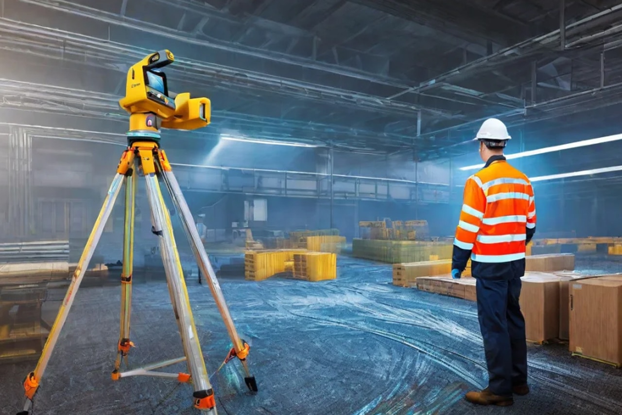
Photogrammetry and LiDAR
Two main methods convert drone flights into usable 3D data. Photogrammetry stitches overlapping images into detailed point clouds and textured models. LiDAR uses lasers to measure millions of points directly, which is especially useful in vegetated or low-light areas. Experts note that LiDAR’s dense point clouds are ideal for volumetric work, sharpening calculations for stockpiles and backfill.
For those searching for a site surveyor near me, it is worth noting that many local providers offer both photogrammetry and LiDAR, giving mining operators flexibility depending on terrain and survey requirements.
Also Read: Drone Mapping and Photogrammetry – A New Era for Surveyors
What changes on a typical mine survey program
- Cycle times shrink: A single flight can cover large pits and multiple stockpiles before a survey crew would have finished setting out targets, with processing pipelines delivering surfaces and volumes the same day in many cases.
- Data richness improves: This is because drones and scanners capture complete surfaces, not just discrete shots, which helps engineers interrogate benches, berms and faces after the team has left the field.
- Reduced Risk: Risk reduces because people spend less time near edges, in active haul circuits or under potentially unstable walls.
These advantages explain why a Perth surveyor increasingly integrates drone flights into mine survey programs.
Practical uses that pay their way
- Stockpile reconciliation and material accounting. Dense point clouds support accurate volumes and loss analysis across ROM pads, product stockyards and tailings lifts.
- Blast planning and post-blast assessment. Pre-blast mapping helps refine burden and spacing, while post-blast flights reveal fragmentation and movement so teams can adjust designs for the next shot.
- Highwall and slope assessments. Frequent scans feed geotechnical monitoring and trigger remedial works sooner, particularly after heavy rain.
- Access and haul road management. Rapid surface updates help identify pooling, degradation and cambers that affect truck cycle times and tyre life.
- Underground void and stope checks. SLAM LiDAR surveys give engineers confidence to re-enter or plan extraction around complex geometry.
A drone inspection Perth service can deliver these outputs efficiently while reducing exposure to hazardous conditions.
Choosing the right mix for your site
No single sensor solves every task. Open-pit sites often pair photogrammetry for general mapping with LiDAR for vegetated or shadowed areas and terrestrial laser scanning where ultimate precision is required. Underground programs add SLAM LiDAR for inaccessible spaces. The decision on RTK versus PPK depends on base station availability, telemetry reliability and required turnaround time rather than a fixed rule.
How a Surveyor Helps:
- A surveyor already works with drones and 3D scanners on iron ore and gold sites, so they shorten the path from trial to routine use.
- Early subdivision feasibility checks use the same 3D data foundations as on site, helping you test layouts, access, and services before major design spend.
- A targeted drone inspection brief lets the surveyor capture conveyors, stacks, and elevated assets from the air, reducing exposure to heights while delivering the measurements maintenance teams need.
- A mining surveyor underpins all of this with accurate surfaces, volumes, and control across pits, haul roads, stockpiles, and tailings. The toolset now includes aircraft, scanners, and algorithms alongside tripods and prisms.
Getting started
If you are adding drones to an internal survey team, adopt the CASA rules as your minimum and build site procedures around them, including line-of-sight operations, altitude limits and safe separation from people and plant. Engage qualified pilots with the right licences for the aircraft you intend to fly.
If you prefer a service model, look for providers who can integrate aerial photogrammetry, LiDAR and terrestrial scanning into a single coordinate framework, deliver auditable processing reports, and work within your mine’s safety systems.
Well-run programs do not just speed up surveys. They lift the quality of decisions across mine planning, production and maintenance, and they do it while keeping people further from risk. That is the real change brought by drones and 3D scanning in mining.