The use of drones in mapping has revolutionised the way researchers approach site exploration. Traditional methods often involve time-consuming and labour-intensive processes, whereas drones can cover large areas quickly and efficiently. This speed allows for more extensive surveys, giving archaeologists a broader perspective of the sites they are studying. Here’s how drone mapping by a Perth surveyor has led to more efficient property assessments.
Key Benefits of Employing Drones in Archaeological Studies:
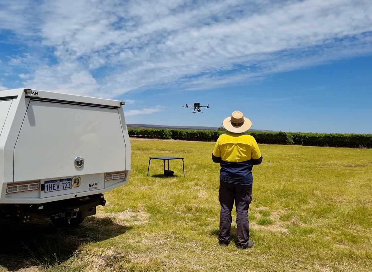
Drones offer a range of benefits for archaeological studies that older methods can’t match.
- Accuracy: One of the biggest advantages is their accuracy. Drones equipped with thermal cameras can detect variations in heat that hint at human-made features hiding beneath the ground. This allows researchers to create detailed maps of structures such as fortification walls and graves with a level of precision that was not possible before. The datasets obtained from drone mapping have enabled researchers to spot subtle features and craft precise maps of various ancient structures.
- Broader Coverage: Drones can cover large areas much faster than traditional methods. This means researchers can examine extensive regions quickly, which leads to more discoveries in less time.
- Quick Survey: The speed and efficiency of drones allow archaeologists to gain a broader view of the sites they study without the long delays usually associated with ground surveys.
- Better Access: Drones can access difficult-to-reach areas with ease. Their ability to fly over rugged terrains and dense forests makes it simpler to survey challenging landscapes. This helps with contour survey in Perth
- Improved Data Collection: Different flying altitudes provide multiple views, improving the overall quality of the data collected. This versatility is particularly useful for uncovering and documenting sites that would otherwise be hard to study.
The Interaction Between Drones and GIS Technology:
To make the most of drones in archaeology, a land surveyor in Perth need to work alongside Geographic Information Systems (GIS). GIS is crucial because it helps analyse and understand geographical data. When drone data merges with GIS, it becomes a powerful tool for studying historical sites.
- Detailed Maps: GIS allows for the integration and management of data from drones, resulting in detailed and layered maps. These maps can show complex details of landscapes and ancient sites. For instance, researchers can use GIS to overlay thermal images from drones onto existing maps, revealing hidden structures and features that aren’t visible to the naked eye.
- Deeper Analysis with Combined Data: The combination of drone mapping and GIS offers a more thorough analysis of archaeological sites. By layering various types of data, researchers can gain a deeper insight into how ancient societies lived and interacted with their environment. This integrated approach also helps identify areas that may need further exploration, guiding archaeologists to potential new discoveries.
- Change Detection: GIS tools enable the visualisation of changes over time. By comparing drone data collected at different intervals, researchers can observe how a site has evolved. This is particularly valuable in understanding the impact of natural processes or human activities on historical locations.
This tech combo is proving invaluable for surveyors today. Local property surveyors in Perth are using drones and GIS to map out ancient sites and even modern properties with unprecedented precision. This technology helps surveyors to perform their tasks more effectively.
Recent Discovery of 3000-Year-Old Fortress in South Caucasus:
A recent study using drone mapping revealed that Dmanisis Gora, a 3,000-year-old fortress in the Caucasus Mountains, is much larger than previously thought. This discovery has led to a re-evaluation of settlement patterns during the Late Bronze and Early Iron Ages.
The drone survey showed the fortress is over 40 times larger than initially estimated. The researchers combined aerial photos with old spy satellite images to distinguish ancient structures from modern modifications due to farming.
The Future of Drone Mapping in Archaeological Research:
The future of drone mapping in Perth for archaeology looks bright, driven by rapid technological advancements. New drones with better sensors and longer battery life are on the way, allowing researchers to conduct longer and more detailed surveys. Enhanced imaging technology will make it easier to detect hidden structures and artifacts, giving archaeologists new tools to explore ancient sites.
Moreover, drones are becoming more affordable and accessible, which means that smaller research teams and institutions can also benefit from this technology. This democratisation of advanced tools will likely lead to a surge in archaeological discoveries worldwide.
Hire Licensed Surveyors Today:
Hiring licensed surveyors in Perth ensures accurate, reliable measurements for property boundaries and land development projects. They have the expertise to comply with local regulations, minimising legal disputes and costly errors. Their professional certification guarantees quality and protects your investment, minimises costly errors, and other hassles in the process. By hiring licensed professionals for site survey in Perth, you gain peace of mind knowing your project adheres to the highest industry standards.