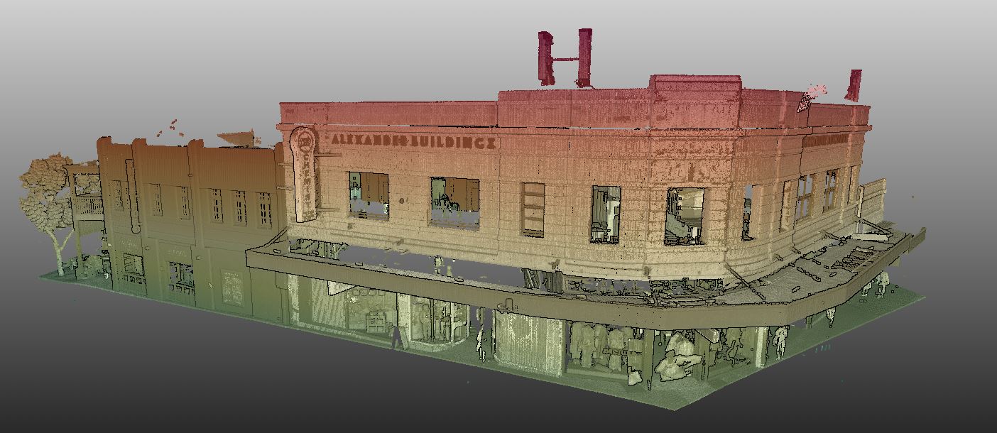
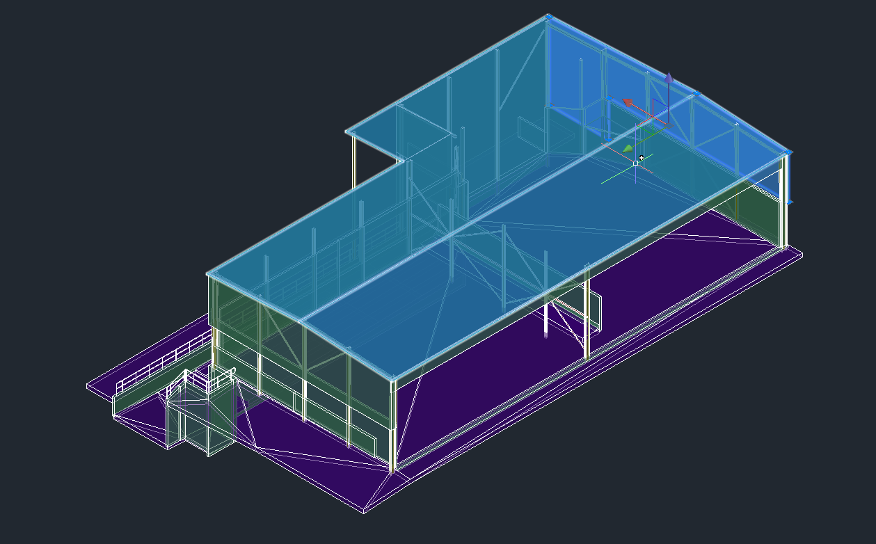
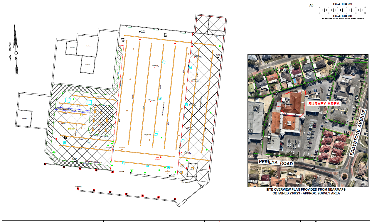
July 2022 – 3D Laser Scanning Perth
- 3D Laser Scanning Perth with Leica P50 Scanstation
- Registration of scans using Leica Cyclone
- Scale and Projection of corner facade
- Elevation Drawings of two facades in PDF and DWG format to provide to Telco Client
LPD Surveys ensure quality practise of laser scanning using industry best equipment with compensators, survey control (utilising precise total station measurements) and check targets.
We slice the crisp 3D data vertically and horizontally to ensure alignment and produce quality reports.
The 3D data is great for visualisation and can be imported into a free viewer for clients and stakeholders to view.
Measurements and slope angles can be determined for design and exports such as Revit RCP files are native to many 3D software programs.
Interested in seeing some 3D models from UAV photogrammetry also? Please see models on our front page: Home
For more about the laser scanning hardware used please see:
https://leica-geosystems.com/products/laser-scanners/scanners/leica-scanstation-p50
Leica ScanStation P50 delivers:
- Best in class quality 3D scanning data & HDR imaging
- Very high-speed scan rate of 1 million points a second
- Ranges of up to 1 kilometre in large projects
- Low range noise in the date
- Top of the range survey-grade dual-axis compensation for most precise results
For more about the laser scanning software used please see:
https://leica-geosystems.com/products/laser-scanners/software/leica-cyclone
About Leica Cyclone:
Leica Cyclone is the most widely used point cloud processing software. It is one of the software modules that provides multiple set of work process options for laser scanning projects in engineering surveying and construction projects.
Leica Cyclone can create all the deliverables needed for a 3D project and work them seamlessly across stakeholder programs. The Leica Cyclone ecosystem is great at efficiently delivering on the entire set of construction project requirements – which ensures one set of truth for your data and inevitably increase your projects integrity and effeciency. It has many uses in the built development world and BIM applications.


