April 2020
- 14 month construction project – Jan 2020 to March 2021
- Cadastral boundary re-establishment survey
- Construction survey control
- Building and design tie-ins to cross-check design drawings
- Underground Ground Penetrating Radar (GPR) survey for existing services
- Collation and QA of all design documentation – checks on digital data to set-out
- Multiple visits to set-out using Network RTK GPS and high precision total stations
- Hydraulic, Structural, Architectural, Electrical and Mechanical set-out
- As-con surveys of constructed structures and services for documentation and record
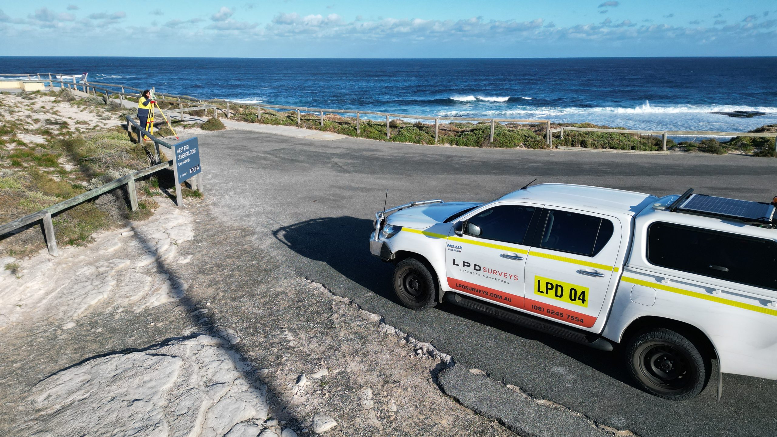
The photo shown is an updated site photo taken by our CASA registered UAV drone photo with part of the design drawings overlaid. These site photos are provided monthly for record of site progression for the project managers and for assistance with progress claims to the principal client.