March 2023
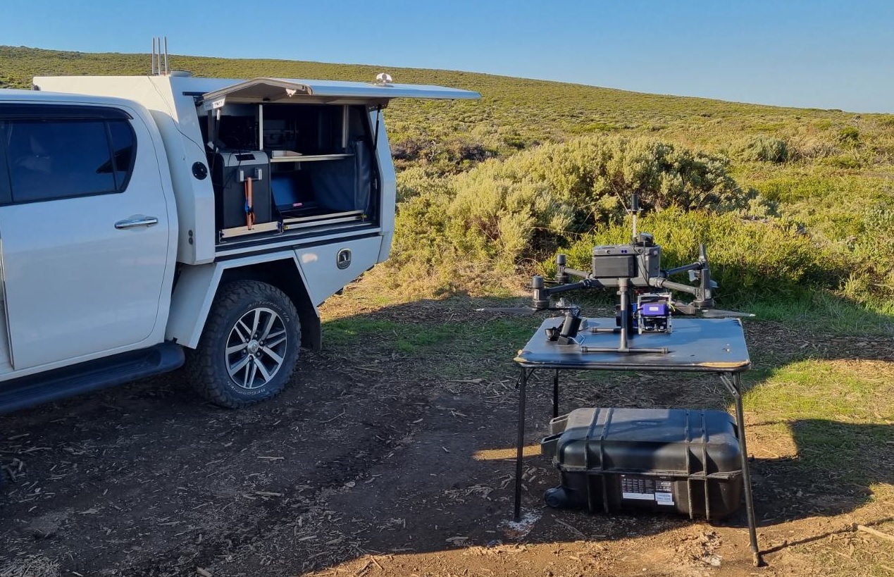
- Surveying the coastline of the south-west using UAV lidar and photogrammetry
- Mapping surf breaks such as Three Bears, Injidup, Lefthanders and Moses Rock
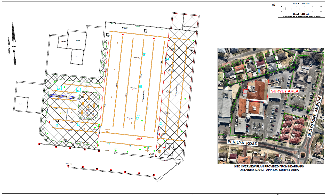
- Feature surveys and linework extraction from 3D models for track, road and facilities upgrades
- UAV orthomosaic photography overlaying the sites
- Lidar data classified to top of bush/trees/shrubs and ground to determine ground contours
- Sites ranged from 22ha to 219ha with approx. 700ha of area flown over the 7 sites
- Lidar Deliverables: 1m grid Digital Elevation Model ‘DEM’ (LAS)
- Photogrammetry Deliverables: 10cm ground resolution Geomosaic Imagery (ECW)
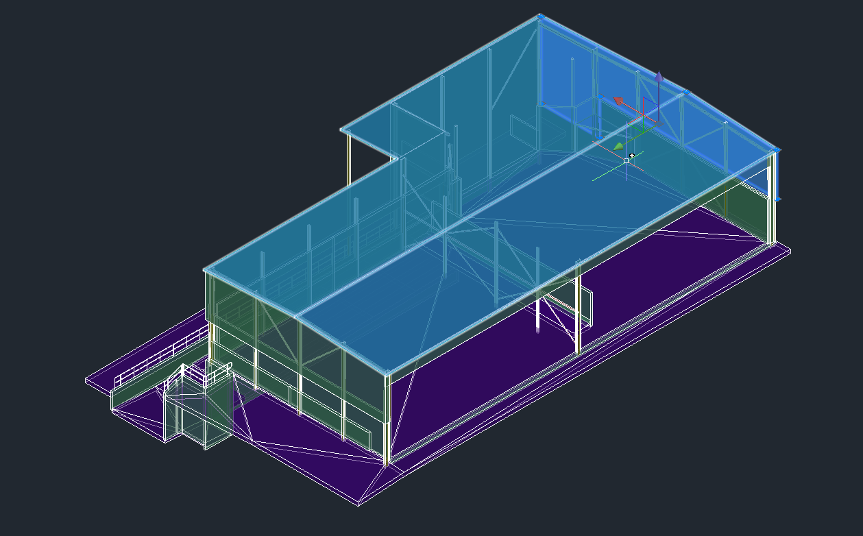
- 3D Deliverable: 3D Textured Mesh (OBJ File)


