October 2022
- 2 sites lidar mapping – approx. 2000ha combined area of two sites
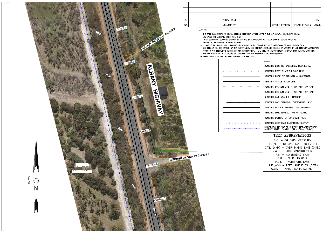
- Aerial mapping using lidar and photogrammetry
- Survey control placement and RTK GPS ground proofing of site to confirm lidar accuracy of classified ground point cloud
- Borehole pickup and co-ordinate table report
- Lidar Deliverables: 5m grid Digital Elevation Model ‘DEM’ (Ascii & Geotiff)
- Photogrammetry Deliverables: 7cm ground resolution Geomosaic Imagery (ECW & Geotiff Tiles)


