March 2018
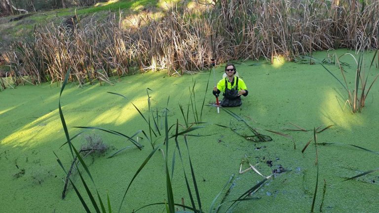
Hydrographic River Survey
- Contracted by State Government – Department of Biodiversity, Conservation & Attractions (or DPAW)
- Geodetic GPS Survey Control – Levelling to Landgate and Water Gauge Benchmarks
- Terrestrial Control Survey along riverbed with heavy tree canopy and poor line of sight.
- Overall nearly 2 weeks work with 2km’s of cross section pickup on water (by canoe and 7m staff) and land contours up steep banks.
- Our problem solving and grit in a challenging terrain and doing the job safely was highly praised from the DPAW project manager.
- Deliverable’s were: Triangulation Model, 3D PDF, Plans showing contours and water depth, ASCII files.