February 2020
- Cadastral boundary re-establishment survey
- Boundary pegging and identification of structures near boundary lines and road reserves
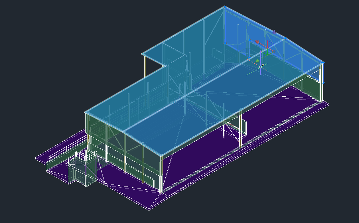
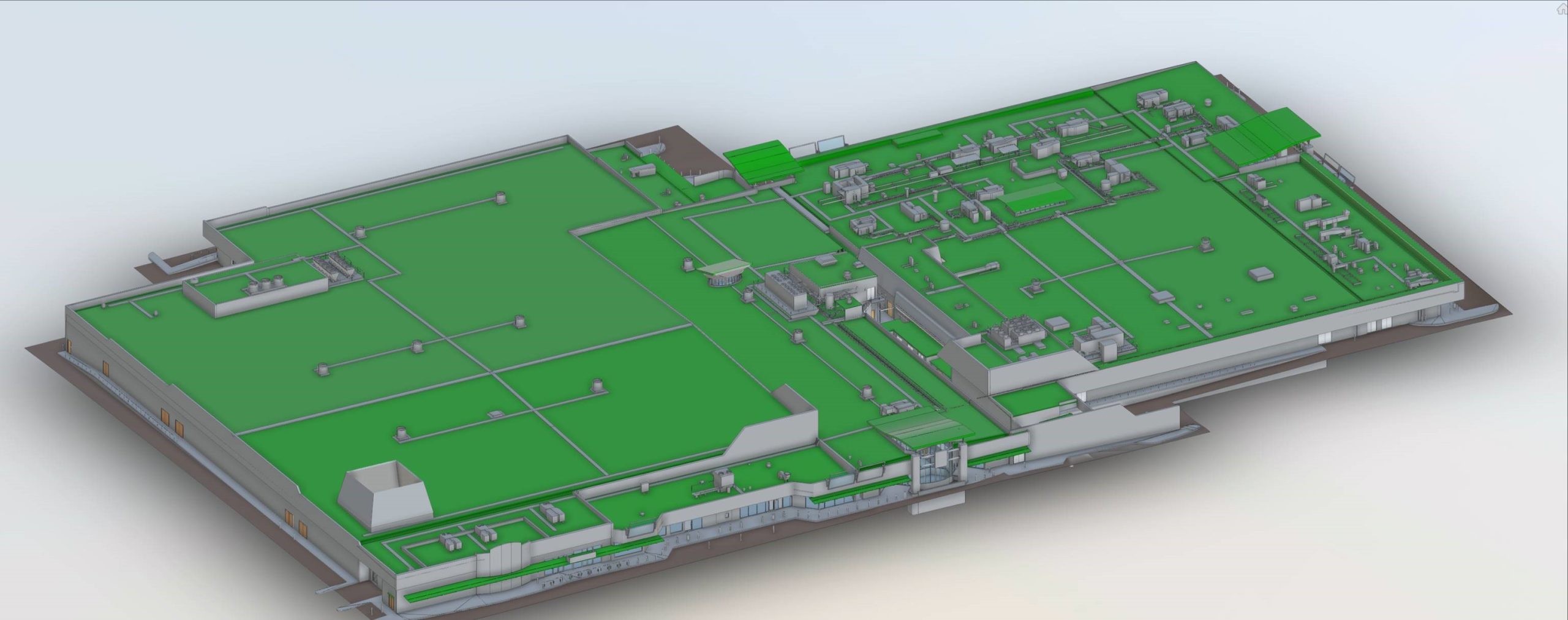
- Feature survey using TPS & GPS data combined with extracted features and 3D DEM from UAV photogrammetry survey
- 3D Photo-realistic reality model/mesh as pictured for visualisation and design (enabling measurements of roof pitches, elevations and relative height differences to structures)


