November 2021
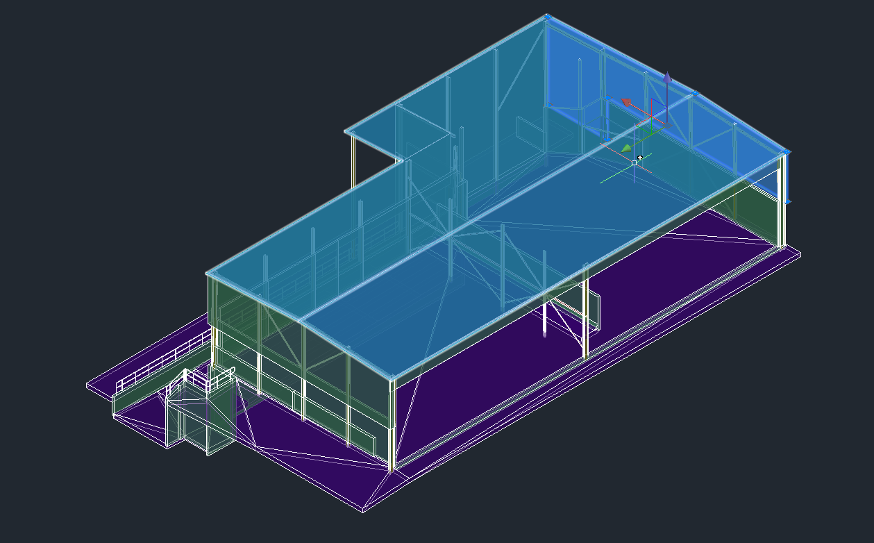
- 3D Scan of school buildings using Leica RTC360 Laser Scanner
- 3D Photogrammetry Survey using DJI M300 RTK Drone and P1 Camera
- Underground scanning using GPR scanner for services
- Total Station feature survey of tree area
- Digital data extraction from laser scanning and photogrammetry data
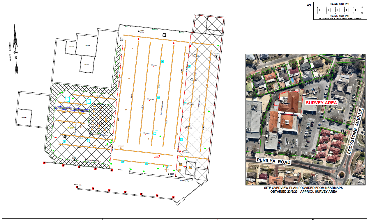
- Feature survey and underground scanning plans and digital data submission


