April 2020
- Rejuvenation of existing survey control
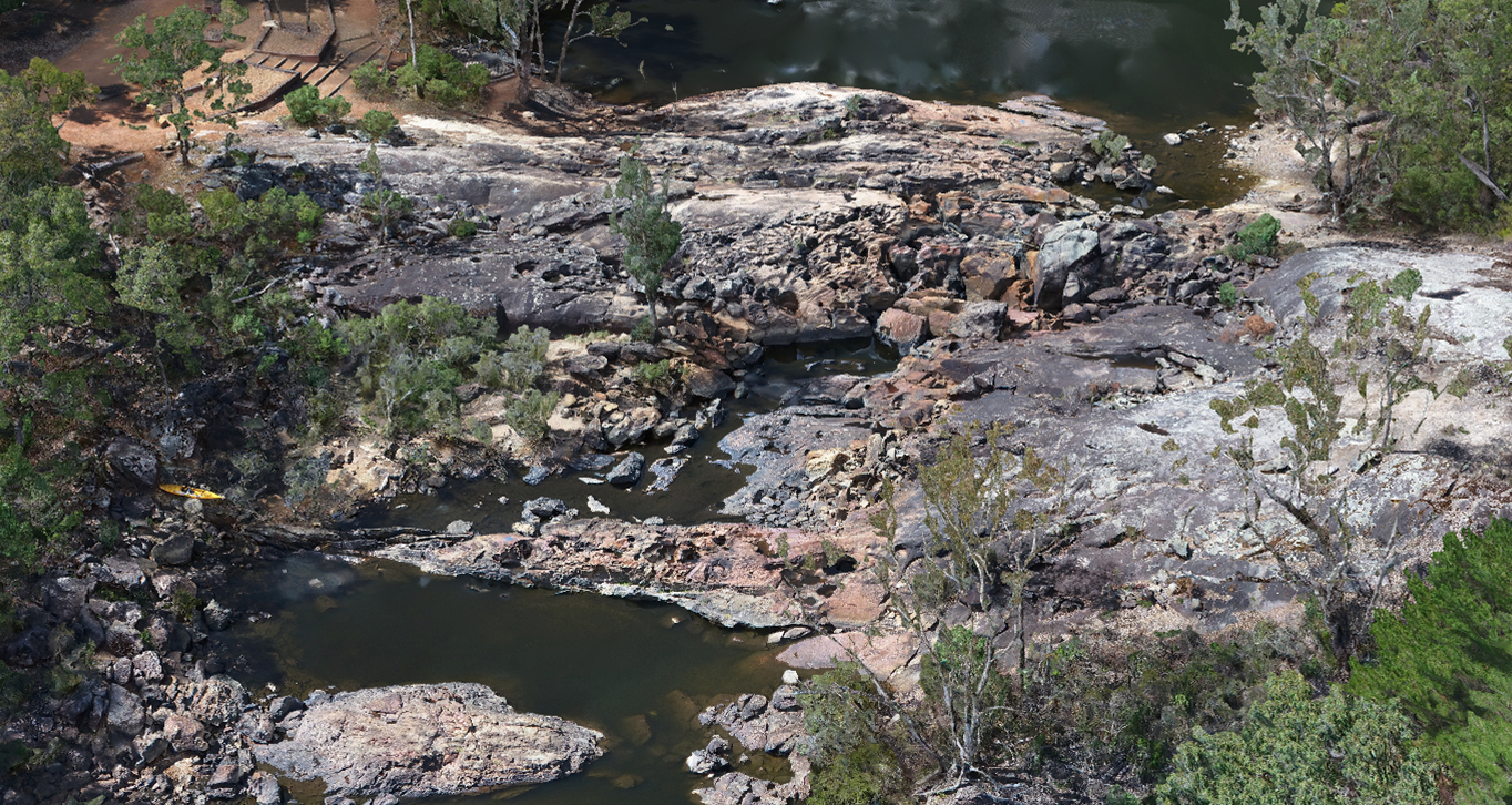
- River cross section survey up slopes of river bank and on river bed by traditional terrestrial surveying methods
- UAV drone photogrammetry survey of exposed/open rock bar area
- Computer processing to create photo-realistic 3D model and more dense contours for better detail over undulating rocks
- 3D cross sectional DXF lines provided to client and edited TIN (3D triangulated model)