January 2018
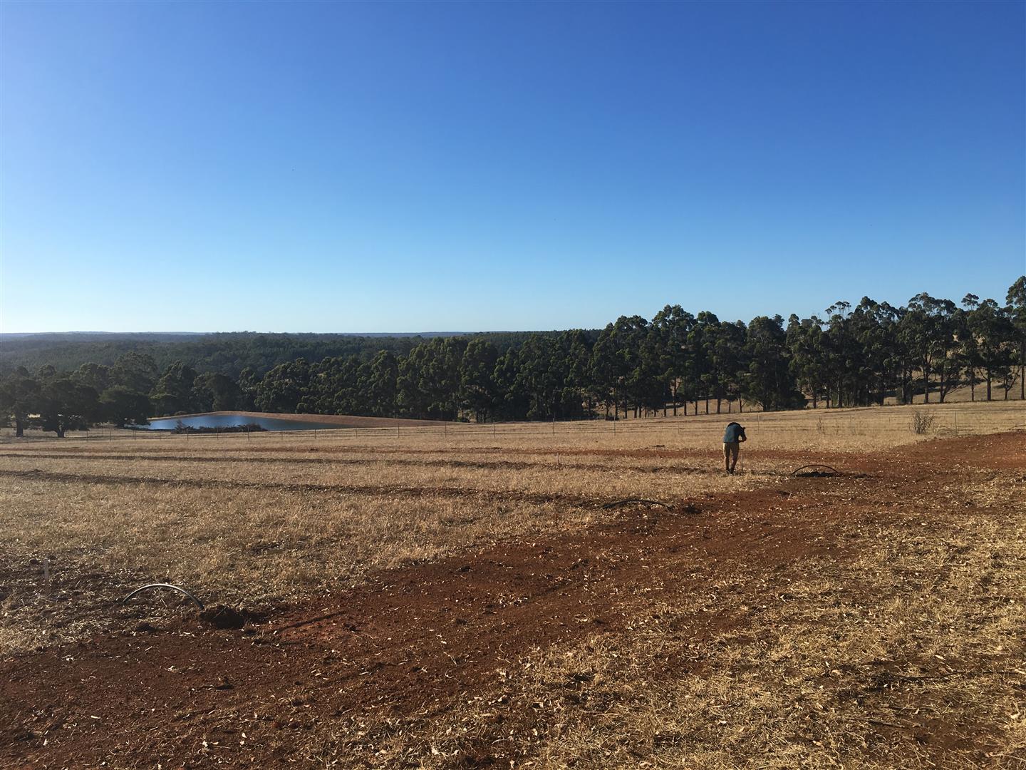
Rural Boundary Re-peg
- Cadastral boundary surround survey by a Licensed Surveyor
- Pegging of dividing boundary line using Total Station and RTK GPS
- Feature survey of existing dam and downstream area/spillway for dam extension
- As-constructed survey of irrigation corridors and design of orchard rows
- Set-out of orchard using a suitable sized grid
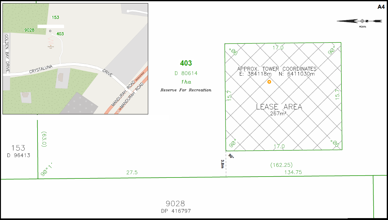
- Boundary re-peg and orchard set-out plan


