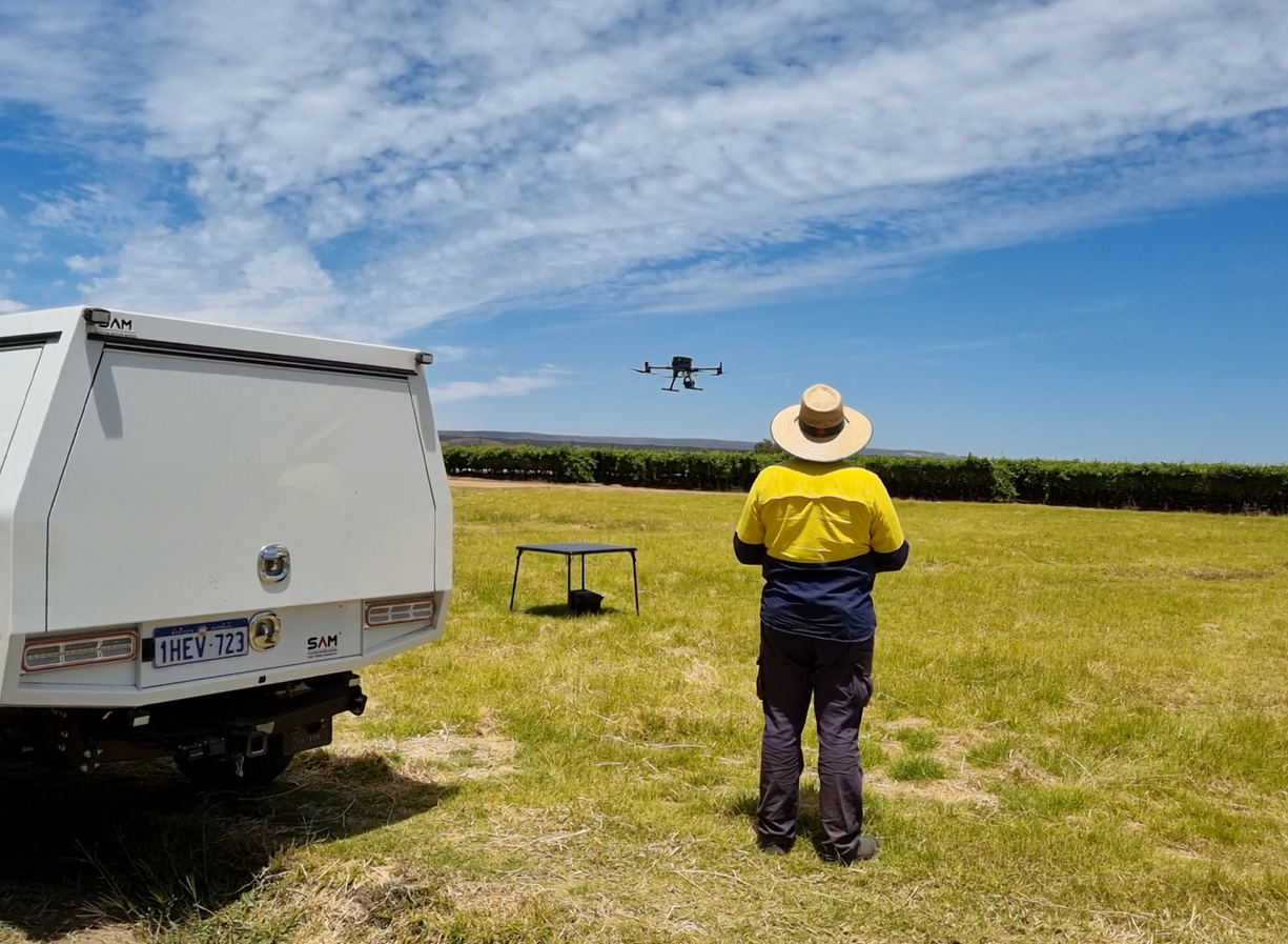
Drone mapping is changing how surveyors work, making the process faster and more efficient. Drones, also known as UAVs, have moved beyond military uses and are now important tools in fields like geomatics. According to ScienceDirect, drones are commonly used for tasks like pesticide spraying in agriculture and documenting building facades and archaeological sites. This shift is largely due to their advanced features, which allow them to carry different types of sensors and cameras. Because of these capabilities, drones are becoming much more popular amongst property surveyors in Perth.
What is Drone Mapping?
Drone mapping uses drones equipped with cameras and sensors to capture aerial images of the ground. These images are then processed to create detailed maps and 3D models. As per Fact.MR, this technology is particularly useful in agriculture, because farmers can use drones to inspect their fields, assess damage from pests/natural disasters, and make informed decisions for future crop management.
Using drones for mapping provides several advantages over traditional methods.
- Drones can cover large areas quickly.
- Drones capture high-resolution images that offer more detail than satellite imagery.
- Drones are also more affordable and versatile compared to traditional aircraft, making them accessible for many different types of projects.
A Perth surveyor uses drone mapping to gather accurate data for creating maps, monitoring construction sites, and inspecting infrastructure. The ability to attach different types of sensors allows drones to collect various data types (from thermal images to multispectral data), enhancing the detail and accuracy of the maps produced. This technology continues to evolve, giving new tools and methods for surveyors to efficiently gather and process essential data.
Introduction to Photogrammetry:
According to a land surveyor Perth, Photogrammetry is a technique that involves taking many pictures of an area from different angles and then using software to create 3D models and detailed maps. This method is becoming more popular among surveyors because it is both accessible and cost-effective.
Compared to LiDAR, photogrammetry offers a more budget-friendly option for those who are new to drone surveying. By using drones equipped with high-resolution cameras, surveyors can capture extensive data quickly and efficiently.
Photogrammetry has wide applications in fields like construction, agriculture, and environmental monitoring. For example, it can help monitor crop health, track changes in land over time, and assist in planning and development projects.
The ability to create detailed, accurate maps from aerial images makes photogrammetry an invaluable tool for modern surveyors.
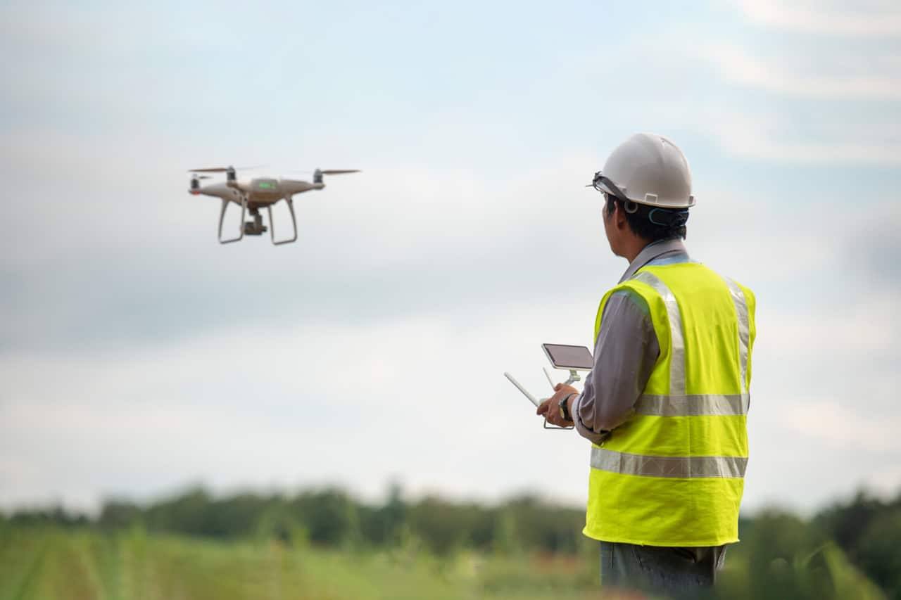
Key Benefits of Using UAVs in Land Surveying:
Using UAVs in land or site survey Perth offers many benefits:
- Faster Data Collection: Drones can quickly cover large areas, making the surveying process much faster compared to traditional methods.
- Cost-Effective: Using drones is generally cheaper than hiring manned aircraft for aerial surveys. They also reduce the need for extensive ground teams.
- Detailed Data: Drones can be equipped with high resolution cameras and various sensors to capture detailed images and data. This results in more accurate maps and models.
- Access to Difficult Areas: Drones can easily reach and survey areas that are difficult or dangerous for humans to access, like steep slopes or dense forests.
- Multiple Sensor Capabilities: Drones can carry different types of sensors, such as thermal cameras or multispectral sensors, to collect a wide range of data. This versatility enhances the quality and usefulness of the surveys.
- Night-time and Low-Visibility Surveys: Some technologies like LiDAR can be used with drones to conduct surveys even at night or in poor visibility conditions. This means that surveys can be done without external light sources.
- Penetration through Vegetation: LiDAR technology used with drones is especially good at mapping areas with lots of vegetation. It can penetrate through leaves and branches to provide accurate topographical data.
- Real-Time Data Processing: Many drones come with software that allows for real-time data processing, enabling surveyors to get immediate insights and make quick decisions on-site.
- Environmentally Friendly: Using drones reduces the environmental impact of land surveying, as they use less fuel and produce fewer emissions compared to manned aircraft.
Essential Deliverables with UAV Aerial Surveys:
UAV aerial surveys help licensed surveyors Perth and other professionals to deliver several important deliverables.
- One of the key outputs is aerial photography and videography for promotional purposes.
- Drones can capture site progress images and create geo-referenced maps, which are very helpful in monitoring construction sites.
- Another crucial deliverable is 3D models with exportable contours, which enable area and volume calculations. These models are useful for contour survey in Perth and various applications, including planning and development projects.
- Drones can superimpose current aerial images over existing feature and contour surveys, offering an updated view of the site. Oblique imagery is also valuable for marketing purposes, such as sales or real estate plans.
- In building design, drones can take photos at specific heights relative to AHD (Australian Height Datum) to show potential views from different floor levels.
- Drones can create photo-realistic 3D models with survey accuracy, which can be combined with laser scanning and terrestrial photos for a comprehensive view.
- High resolution inspection photography is another significant deliverable, which allows for detailed inspections of hard-to-reach areas.
Wrapping Up:
Hiring a professional surveyor who uses photogrammetry and drone mapping Perth can greatly benefit your project. Using professional surveyors ensures that you receive precise and reliable data. They have the expertise to operate advanced drones and software, making your project more efficient and accurate.