Stockpiles, Pit Maps, and More: How UAV Surveys Are Powering Perth’s Mining Sector in 2026
Perth’s mining sector is relying more on drone-based survey work because
Perth’s mining sector is relying more on drone-based survey work because
For landowners, developers and project teams, 3D digital twins now mean

Perth’s population is growing rapidly, and with that comes pressure on

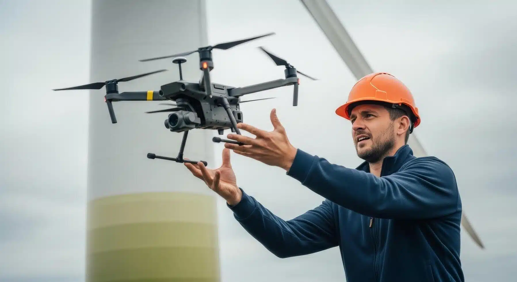
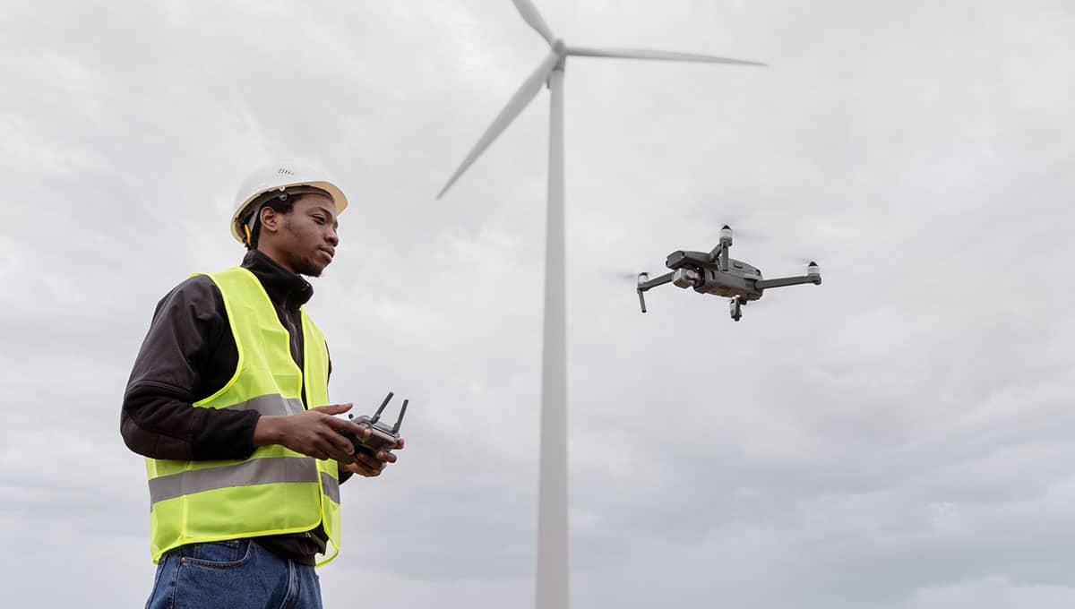
Industrial assets don’t forgive sloppy work. Pipes corrode, bearings overheat, bolts

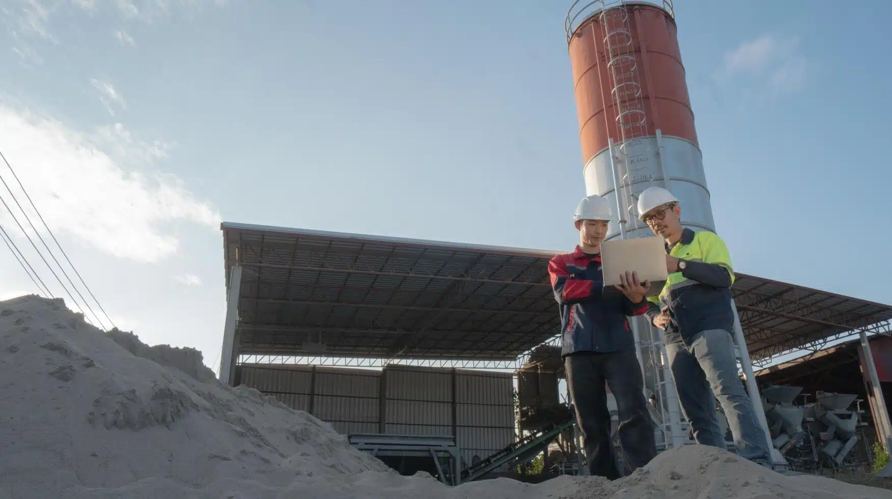
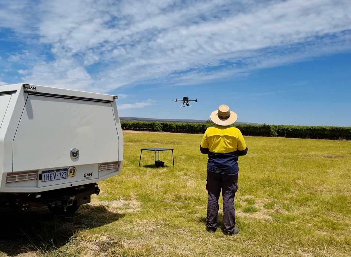
Mining is rapidly changing the way it maps, measures and manages
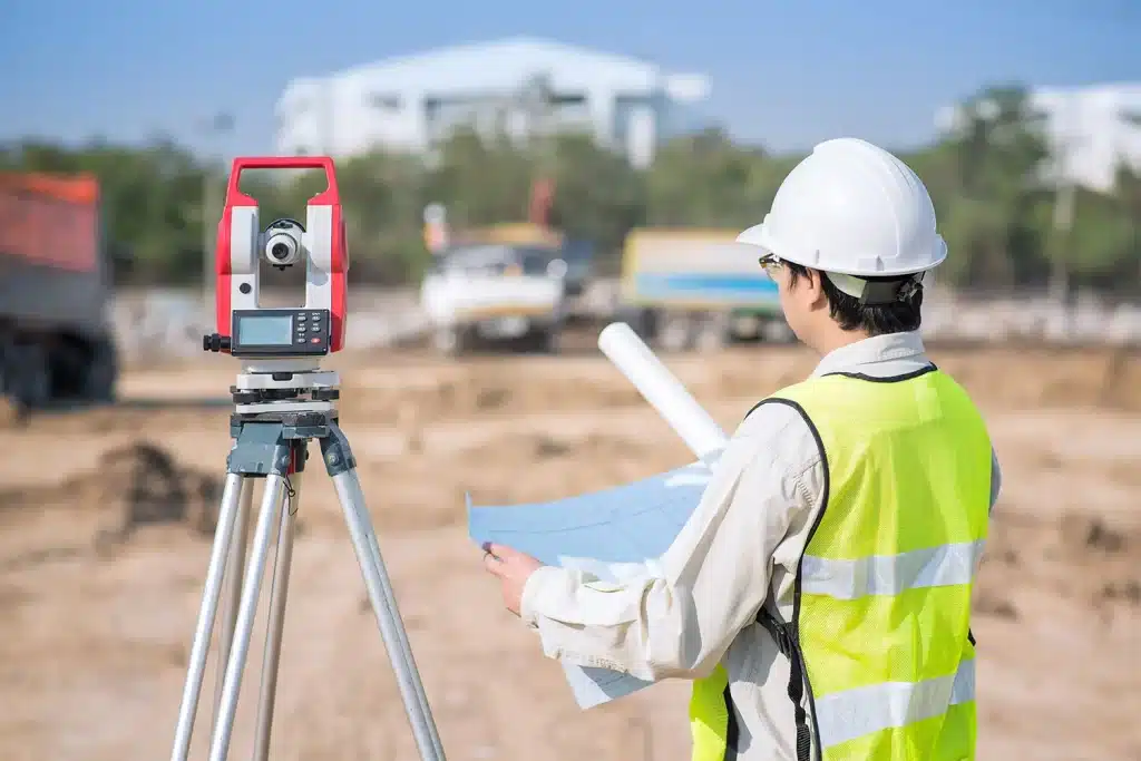
Modern building work runs on tight margins. Money, safety and reputation

Bush-fire planning rules in Australia hinge on the Bushfire Attack Level

Drone LiDAR for Earthworks: How 5 cm Accuracy Helps Reduce Rework
Considering an aerial survey for your Western Australian construction project? It’s
Fences aren’t always where they should be. Plans sometimes skip key

Accurate contour surveys are critical for planning in coastal and flood-prone
The use of drones in mapping has revolutionised the way researchers