Drone LiDAR for Earthworks: How 5 cm Accuracy Helps Reduce Rework
Recent advancements in lightweight LiDAR sensors mean that civil contractors can now use drones to quickly capture detailed 3D maps of a construction site with accuracy down to about 5 centimetres. This improvement helps reduce rework on bulk earthworks projects because supervisors can compare the planned design with the current site conditions before more material is moved. Avoiding double-handling of soil saves fuel, reduces machinery use, and helps projects meet Australian earthworks standards. This article explains why 5 cm accuracy matters, how drones achieve it, and what it means for contractors in Western Australia—from mining sites to residential developments around Perth.
Why Accuracy is Important in Bulk Earthworks
Bulk-fill earthworks are usually accepted when the finished surface is within 50 mm (5 cm) of the design levels, according to Australian Standard AS 3798-2007. Modern drones equipped with advanced LiDAR sensors, such as DJI’s Zenmuse L2, can capture data with vertical accuracy around 4 cm and horizontal accuracy around 5 cm, especially when using RTK positioning. This accuracy allows surveyors to verify the site without having to set out extra ground markers or manually take measurements. By surveying frequently, even daily, construction teams can identify small issues early—like a grader cutting slightly too high or soil quality changing—helping prevent bigger problems and costly rework later.
The Cost of Rework
Rework in construction projects can add up to about 5% of the total project cost, and this figure rises when you include delays and frustration among crews. For example, on a $20 million road project, that 5% means a million-dollar expense. Using drones to capture detailed, high-density site data before final grading helps catch mistakes early—such as uneven slopes or improperly compacted areas—while equipment and crews are still on site and ready to fix them.
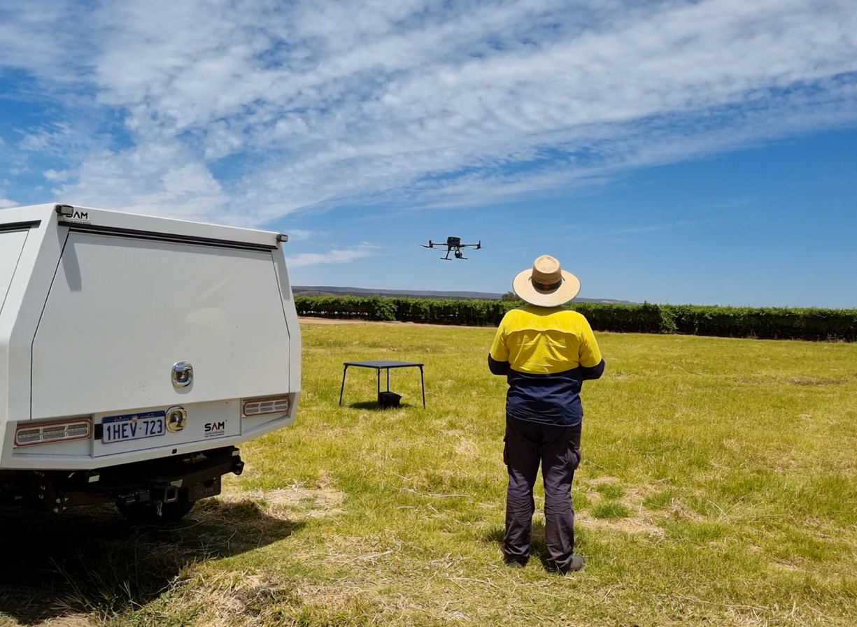
How Drone LiDAR Provides Reliable 5 cm Accuracy
Three key factors make 5 cm accuracy possible with drone LiDAR:
- High-quality hardware: Survey-grade LiDAR sensors collect hundreds of thousands to millions of points per second, paired with precise GPS and motion data.
- Accurate flight control: Drones with RTK or PPK GPS technology can maintain centimetre-level accuracy without needing extensive ground control points.
- Efficient processing: Cloud-based software quickly processes the data, delivering geo-referenced maps and accuracy reports in hours—even on sites with vegetation.
Saving Time and Money by Avoiding Rework
Drones deliver the best value on projects where moving soil accounts for a large portion of the budget. Even small measurement errors spread across a site can cause thousands of cubic metres of extra earth to be moved. By having an accurate 3D model of the site the next morning, supervisors can adjust haul routes or machine settings before the next work shift starts. This proactive approach helps keep the schedule on track and reduces unnecessary work.
Compliance and Quality Assurance in Australia
Australian regulators are increasingly accepting drone survey data as part of geotechnical inspection reports. Standards like AS 3798 allow for a tolerance of ±50 mm on earthworks, which drone LiDAR easily meets. When a licensed surveyor reviews and signs off on the drone data, the results hold the same legal weight as traditional surveying methods, but with richer information and full traceability. Project managers searching online for land surveyors near me will find firms offering subscription drone flights bundled with analytics dashboards.
Local Use in Western Australia
Contractors in Perth and Mandurah are already using drone LiDAR surveys for progress monitoring on projects like lime-stabilised pads and transport infrastructure. Property surveyors Perth report that conducting drone flights every two weeks fits well with other testing schedules, helping construction crews confirm earthworks are on track before services like pipes and cables are installed. If a pad edge moves out of tolerance, graders can quickly fix it—sometimes within hours—rather than waiting for the next scheduled survey.
Key Takeaways
- Drone LiDAR with 5 cm accuracy meets Australian earthworks standards and provides near real-time site data for contractors.
- Construction rework typically costs 5% of project value, but regular drone surveys can reduce this by catching errors early.
- Cloud processing turns raw drone data into easy-to-understand maps overnight, helping keep equipment and haulage plans updated.
- Using licensed surveyors to approve drone surveys ensures compliance and protects project margins.
By integrating regular drone LiDAR surveys into quality control processes, Perth surveyors can complete earthworks faster, reduce re-grading costs, and deliver certified results that stand up to scrutiny—eliminating guesswork and costly second passes.