August 2019
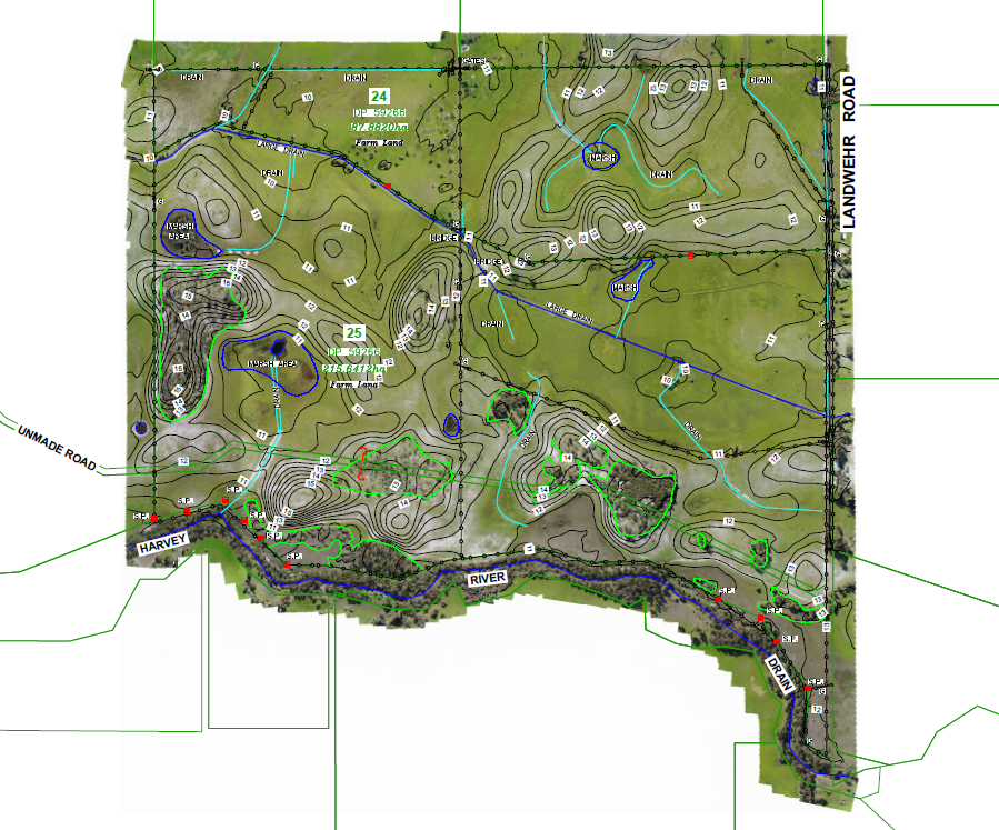
- LPD Surveys were engaged to compete a rural boundary re-establishment survey and feature survey over the proposed 300ha solar farm site in Waroona WA
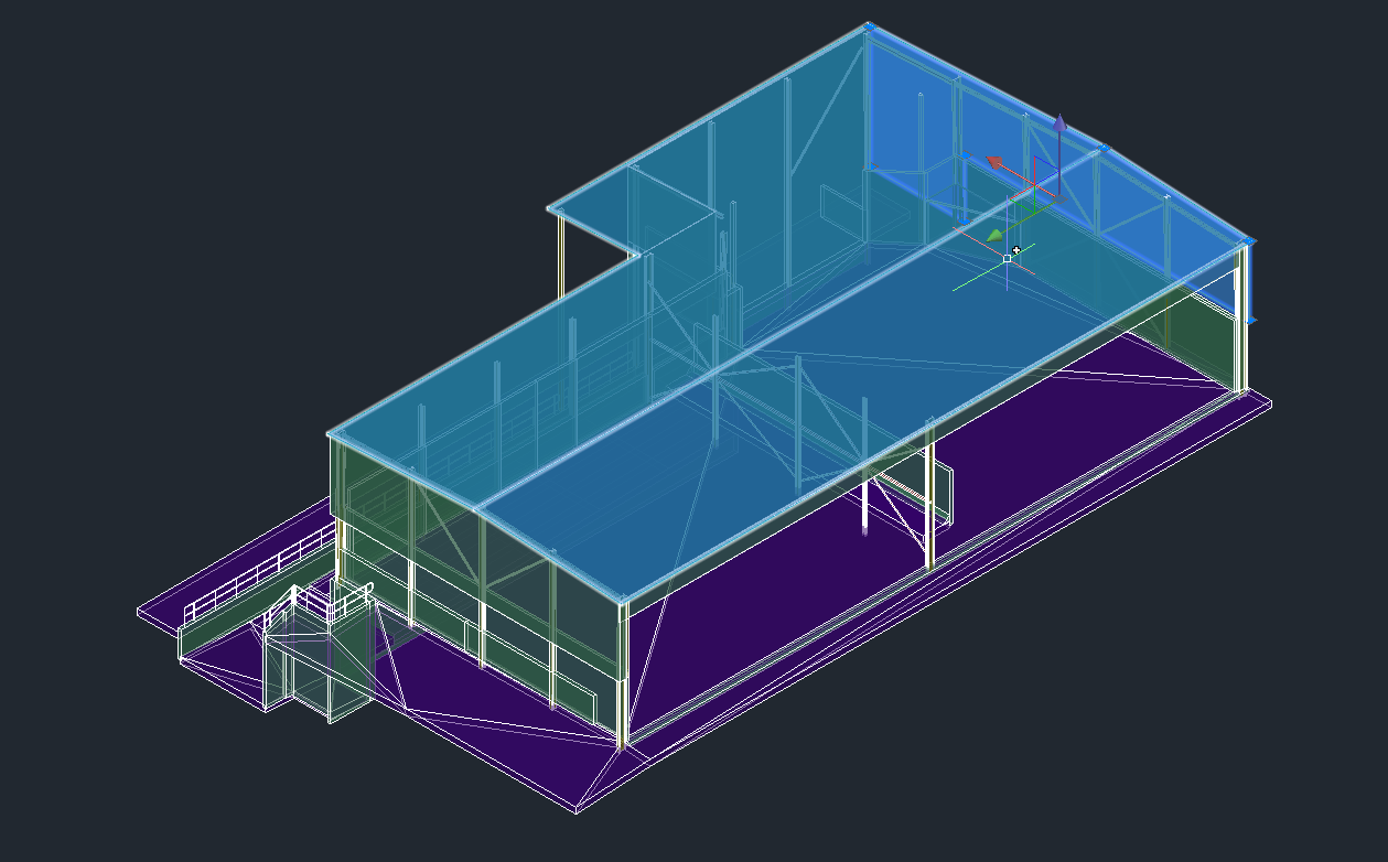
- UAV Drone photogrammetry mapping technology was used to create a 3D Digital Surface Model (DSM) or TIN over the site
- PDF plans were created with a high resolution background orthomosaic image to 3cm horizontal Ground Sampling Distance (GSD)
- Digital deliverables for the design were created such as:
- Geotiff & ECW imagery;
- Contours to 0.25m interval;
- DWG drawing of the digitised drains and vegetation outlines + surveyed roads, fences, gates and structures;
- OBJ 3D Textured Mesh file and
- LAS / XYZ point cloud file.


