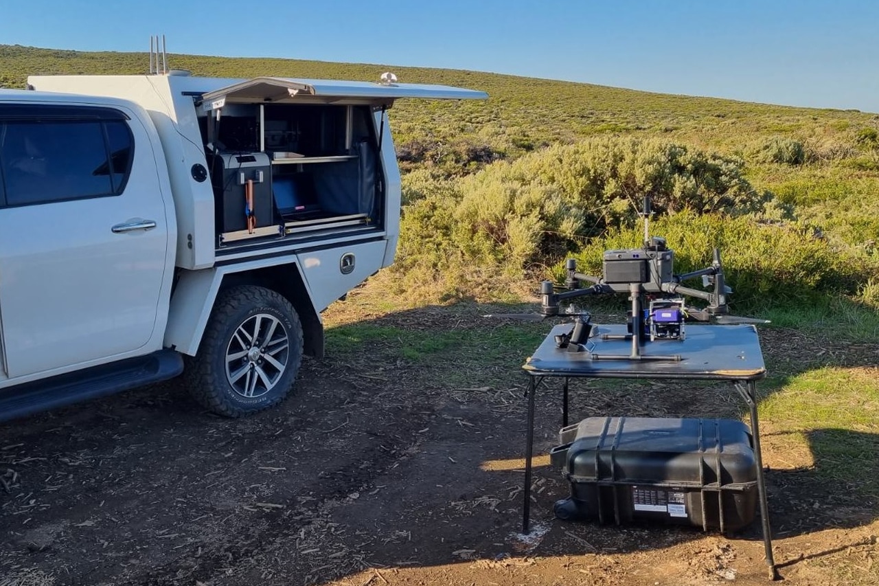
Perth’s mining sector is relying more on drone-based survey work because it provides operators with faster, safer and more consistent visibility across active sites. In practical terms, UAV mining surveys in Perth now sit at the centre of routine stockpile checks, pit mapping and surface updates, particularly where teams need current data without sending personnel into busy or exposed areas. Safe Work Australia continues to classify mining as a high-risk industry, which is one reason remote capture has become increasingly relevant on site.
What this article answers
- Why drone surveys are being used more often on WA mine sites
- How stockpile measurements and pit maps support day-to-day decisions
- Where safety improvements are most noticeable
- What affects turnaround time and cost
- Why approvals matter for longer-range flights in remote operations
Why High-resolution orthomosaic pit maps matter in 2026
A current pit map is not just a visual reference. It supports planning, confirms ground changes and helps teams compare site conditions against the mine plan required for operations.
WorkSafe WA’s “Mines survey: code of practice” states that the code is used in compiling the mine plan for each mining operation, reinforcing why frequent updates are important.
What operators gain from a fresh aerial map:
- Clear visibility of benches, ramps and working faces
- Faster checks on drainage changes, cut and fill, and access routes
- A reliable base layer for coordination between survey, production and safety teams
- A clear record of change between surveys
That is where Precision aerial surveying provides practical value in Perth. A local provider can often respond faster, operate within WA conditions and deliver outputs in formats suitable for site teams with minimal delay.
Stockpiles and volume checks
Stockpile measurement is one of the most practical applications of UAV survey work. A drone can cover large stockyard areas efficiently, capture consistent overlap and produce surface models that support repeatable volume calculations. Stockpile measurement, orthomosaics and 3D outputs remain standard deliverables in these workflows.
Why this suits mining operations:
- Regular checks are easier to plan
- Survey teams spend less time moving through active stockpile areas
- Volume trends are easier to compare over time
- Reporting can be shared across planning, production and commercial teams
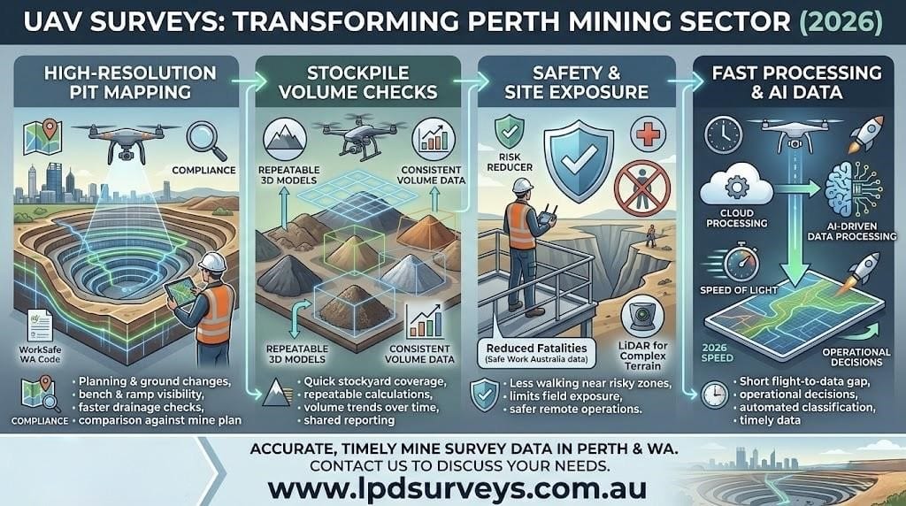
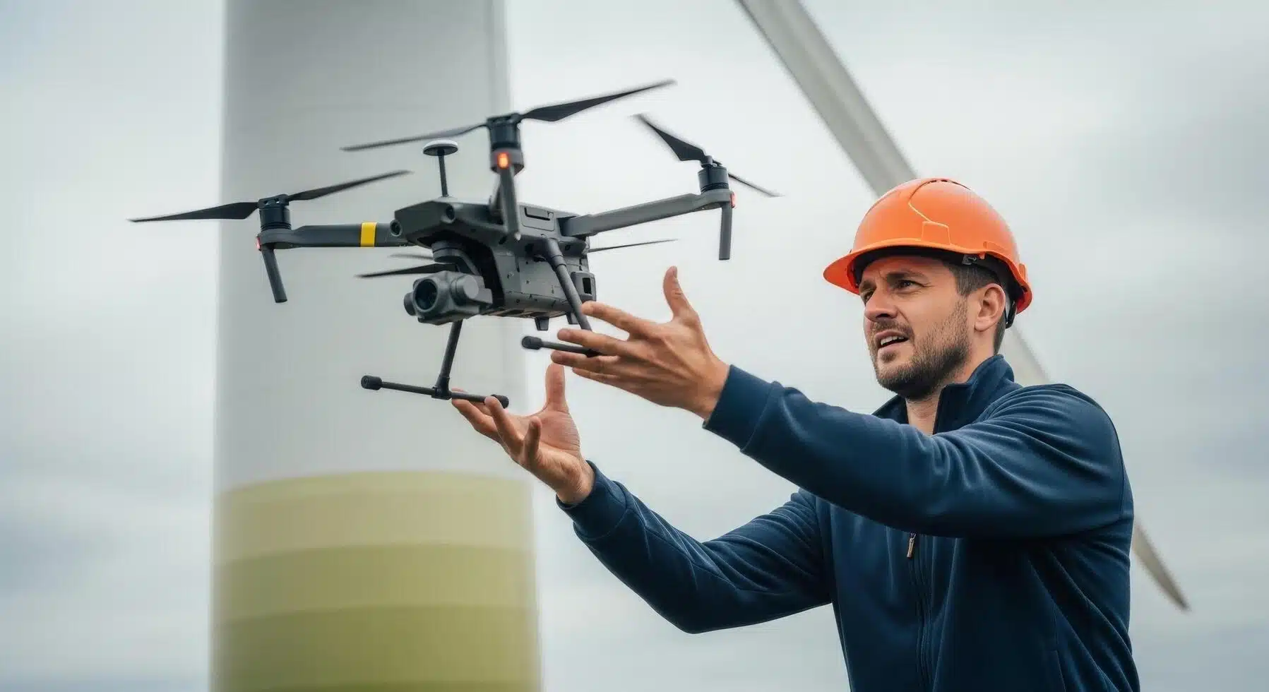
Safety, sensors and site exposure
The safety case is clear. If a task can be completed with fewer people working near edges, haul roads or unstable ground, exposure is reduced.
Safe Work Australia notes that while mining safety has improved, the industry still records a higher fatality risk than many others, so reducing unnecessary field exposure remains critical.
This is also where LiDAR-equipped UAVs for mine safety can add value. On uneven terrain, in low-visibility conditions or where surface texture is limited, LiDAR can provide a more reliable dataset than image-only capture.
It is not required for every project; however, it can be the better option where terrain complexity or visibility affects photogrammetry results.
Faster processing and digital site records
- Another shift in 2026 is speed. Real-time mine site digitisation does not always mean instant outputs, but it does reduce the time between capture and usable data on many projects.
- Improved software workflows, cloud processing and automated classification allow survey teams to deliver terrain models, maps and reports quickly enough to support operational decisions rather than only end-of-period reviews.
- So, how does AI-driven data processing speed up UAV mine mapping? The answer is straightforward: software reduces manual input during image alignment, model generation and change detection, while survey oversight ensures accuracy.
- Faster turnaround matters because data loses value when site conditions change before results are delivered.
Also Read: How UAV LiDAR Technology Aids in Conducting Environmental Impact Assessments
Need accurate, timely mine survey data for your site in Perth or regional Western Australia? Contact LPD Surveys to discuss a UAV survey solution tailored to your stockpiles, pit mapping and operational reporting needs.
Frequently asked questions
How accurate are UAV stockpile measurements in 2026?
Accuracy depends on survey control, flight planning, weather, stockpile geometry and processing methods. A robust workflow improves consistency. For most operational checks, repeatability across surveys is more valuable than a single isolated figure.
What are the benefits of using drones for pit mapping in Perth?
Key benefits include faster data capture, improved safety and a clearer visual record of changing ground conditions. Teams can update mapping more frequently, compare changes more effectively and reduce time spent collecting data in active areas.
How do UAV surveys improve mine site safety in Western Australia?
They reduce the need for survey personnel to enter high-risk areas and provide better visibility before work begins. On active mine sites, improved information and reduced exposure support safer decision-making.
What is the cost of drone mining surveys in Perth for 2026?
Costs vary depending on site size, travel requirements, sensor type, turnaround expectations and deliverables. A basic RGB stockpile survey differs significantly from a large-scale LiDAR survey with expedited reporting, so pricing is typically scope-based.
What are the benefits of using drones for pit mapping in Perth?
Beyond the survey output, drone mapping creates a stronger visual reference for planning meetings, contractor coordination and progress tracking. This helps different teams work from a consistent and up-to-date representation of site conditions.