Redevelopment projects depend on accurate information about existing site conditions. Where drawings are incomplete, outdated or inconsistent with the current structure, project teams may face design errors, delays and avoidable rework.
Before design or construction begins, the team must determine whether traditional surveying, 3D laser scanning or a combination of both will provide the required data.
The right choice depends on the site, the project scope and how the survey information will be used.
What traditional surveying does best
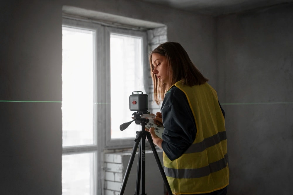
Traditional land surveying is built around precise, selected measurements. Using total stations, RTK GPS systems, levels and established control, a surveyor records the points needed to define a boundary, set out construction work, establish levels or document site features.
That targeted approach remains essential. A legal boundary cannot be replaced by a visually impressive point cloud. Nor can a contractor reliably set out footings, columns or road alignments from a model that has not been tied to survey control.
For straightforward sites and clearly defined deliverables, conventional methods can be the most direct solution. They suit cadastral work, feature and contour surveys, construction set-out, control networks, deformation monitoring and selected as-built measurements. LPD Surveys uses calibrated instruments across its engineering and construction work in Western Australia.
What 3D laser scanning changes
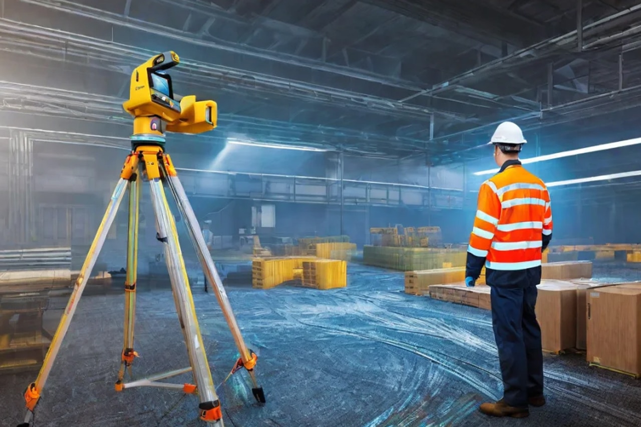
Laser scanning approaches a site differently. Instead of recording only selected points, the scanner captures millions of spatial measurements, creating a dense “point cloud” that represents surfaces, structures and objects in three dimensions.
For architects, engineers and contractors, the value is context. A conventional point may show where one corner sits. A scan can show the corner, the uneven wall around it, the services above it and the relationship between them.
This makes 3D laser scanning Perth services useful for complex buildings, industrial facilities, facades, plant rooms, heritage structures, infrastructure upgrades and renovations. The captured information can support point clouds, elevations, CAD drawings, spatial models and BIM deliverables.
LPD Surveys can also combine terrestrial scanning with aerial photogrammetry, LiDAR, underground-service detection and total-station or GPS measurements.
The practical differences
The clearest distinction is the amount and type of information collected.
A traditional survey records the points specified in the scope. This is efficient when the team knows exactly what it needs. A laser scan captures a fuller record of the visible environment, which is valuable when a site is complicated or designers may need to revisit the data later.
The deliverables also differ. Conventional surveying commonly produces coordinates, plans, levels, set-out marks and as-constructed information. Laser scanning can produce a registered point cloud, floor plans, elevations, sections, surface models or scan-to-BIM outputs.
Neither method is automatically more accurate. Accuracy depends on the equipment, survey control, field procedure, site conditions, processing and the purpose of the deliverable. A dense dataset must still be captured and controlled properly.
Traditional measurements may move quickly into a plan or set-out workflow. Laser scanning can reduce the need to measure each feature separately, but the data requires registration, checking, extraction and sometimes detailed modelling.
Which method fits your project?
Choose traditional surveying when the project requires legal boundaries, construction set-out, control points, levels, alignments or a feature and contour plan. A qualified land surveyor Perth clients engage can identify the measurements and documentation required for each stage.
Choose a 3D laser scanning survey when the site contains irregular or congested geometry and the team needs a detailed record of existing conditions. This is often the stronger option for refurbishment, retrofit design, facade documentation, complex as-builts and BIM or CAD coordination.
Choose a hybrid approach when the project needs both comprehensive spatial capture and conventional survey control.
A school survey completed by LPD Surveys combined building laser scanning, drone photogrammetry, underground-service scanning and a total-station feature survey before digital information was extracted for the project team.
Cost is only part of the calculation
It is tempting to ask which method is cheaper, but the more useful question is which one reduces uncertainty at the lowest total project cost.
Pricing can be affected by site size, complexity, access, safety requirements, accuracy, the number of scan positions or measured points, and the required processing or modelling.
A tightly scoped traditional survey may be economical for a simple task. On a complex redevelopment, however, incomplete information can lead to return visits, redesign or avoidable rework.
A method matched to the work
3D laser scanning has expanded what project teams can record and model. It has not made traditional surveying obsolete. Boundaries still need to be defined. Structures still need to be set out. Survey control still gives spatial data its reliability.
The best method is the one matched to the site, required deliverables and project risks.
LPD Surveys combines licensed and engineering surveying expertise with advanced 3D reality capture for projects across Perth and regional Western Australia.
Tell our team what you are designing, building or upgrading, and we will help determine whether traditional surveying, laser scanning or a combined approach is right. Contact LPD Surveys to discuss your project.